NPOL: GPM Precipitation Science Research Facility
NASA S-Band Dual-Polarimetric Radar (NPOL)
|
|
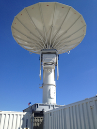
NPOL is NASA\'s premier weather radar. It is one of only two mobile S-band
dual-polarization radars (the other being NCAR\'s SPOL). When not being
deployed for PMM/GPM field campaigns, it is operated near NASA Wallops
Flight Facility in Newark, MD.
NPOL has a wavelength of 10.65 cm, an operating frequency of 2700-2900 MHz,
variable PRF of 500 and 1000 Hz with a 0.95 degree beam width. NPOL can
operate with both horizontal and vertical polarization in both simultaneous
and alternating modes. The radar has a prime-focus parabolic reflector which
is 8.5 m in diameter and is housed on five sea-tainers. When readied for
deployment, the entire radar and antenna system is stored within the five
seatainers.
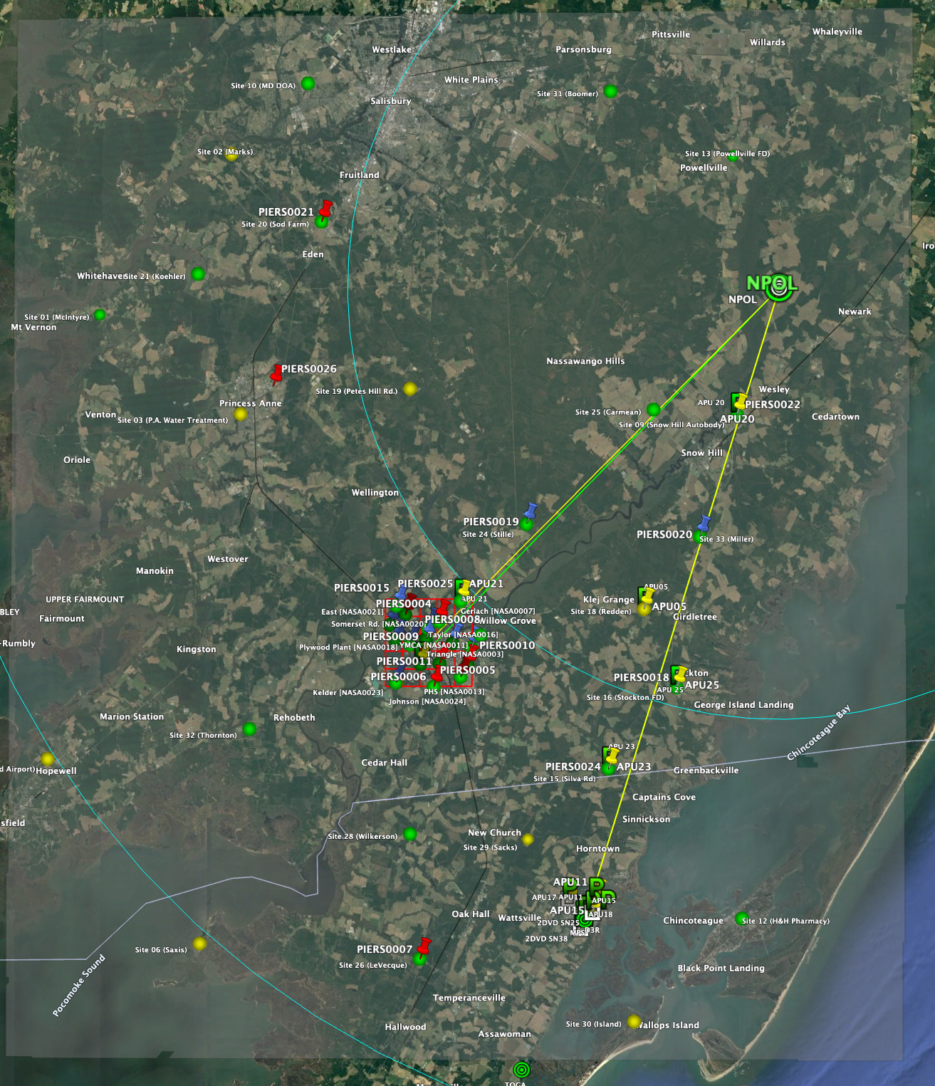
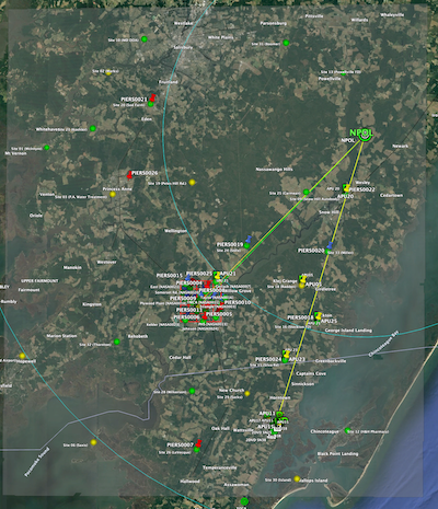
The image to the right shows a network of rain gauges and disdrometer deployed
in the NPOL domain. All of these instruments are being used to help validate
GPM satellite over an area of 0.5 degrees latitude x 0.5 degrees latitude.
Click on on the image to see a higher resolution map of the network.
|
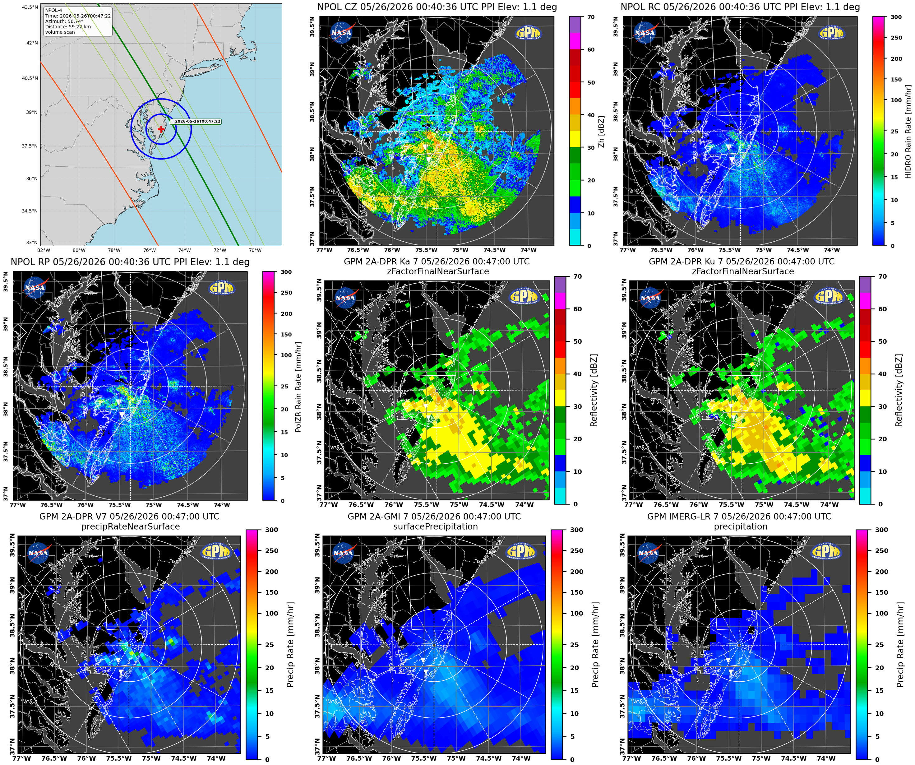
Latest NPOL Plots and Movies
PPI Plot
RHI Plot
Archived NPOL Plots and Movies
NOTE:
Radar imagery on this page was generated using
PyART
Helmus, J.J. and Collis, S.M., 2016. The Python ARM Radar Toolkit (Py-ART),
a Library forWorking with Weather Radar Data in the Python Programming Language.
Journal of Open Research Software, 4(1), p.e25. DOI: http://doi.org/10.5334/jors.119.
GPM NPOL OVERPASSES
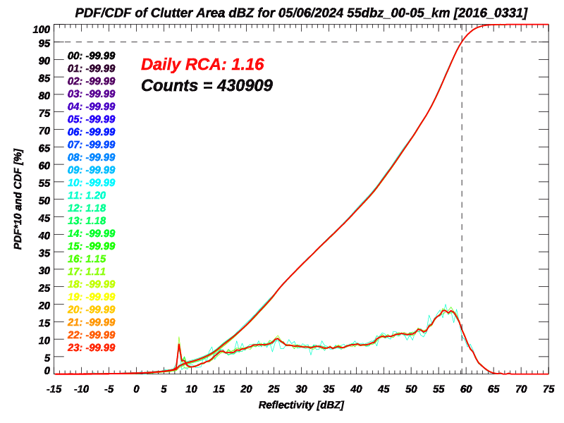
Radar Calibration Information
BirdBath Scan [Zdr cal]
|
Use the pull down menu to display a monthly BB NPOL Calendar.
|
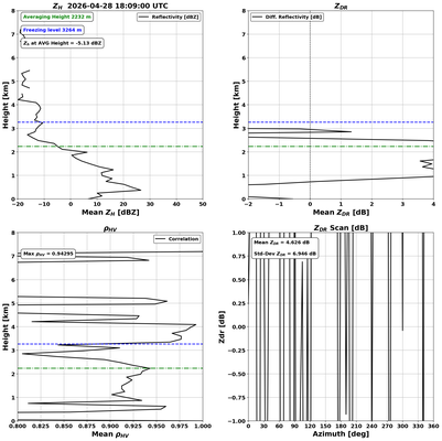
Latest Quasi-Vertical Profile
A quasi-vertical profile (QVP) is a conical scan at 20.0 degrees
elevation. The reflectivity, differential reflectivity, correlation,
and differential phase are azimuthally averaged by range bin, and are
presented in a height-versus-time format. A height of 10 km is
approximately 30 km range from NPOL (see figure). Per Ryzhkov et al.
2016, the temporal evolution of microphysical processes that govern
precipitation is a key benefit to this methodology. Through this
technique, NPOL will be monitoring characteristics and behavior of the
melting layer, regions of dendritic growth, riming, and snow aggregation
with high vertical resolution. Comparisons with vertically looking
remote sensors such as the Micro-Rain-Radar (MRR) and the GPM
Dual-Frequency Precipitation Radar (DPR) will be performed for
validation within the atmospheric column.
More QVP info and Archived Plots
|
|
Data Availability & NPOL Precipitation Events
|
|
Use the pull down menu to display a monthly NPOL Event plot.
Use the pull down menu to display a yearly NPOL Event plot.
|
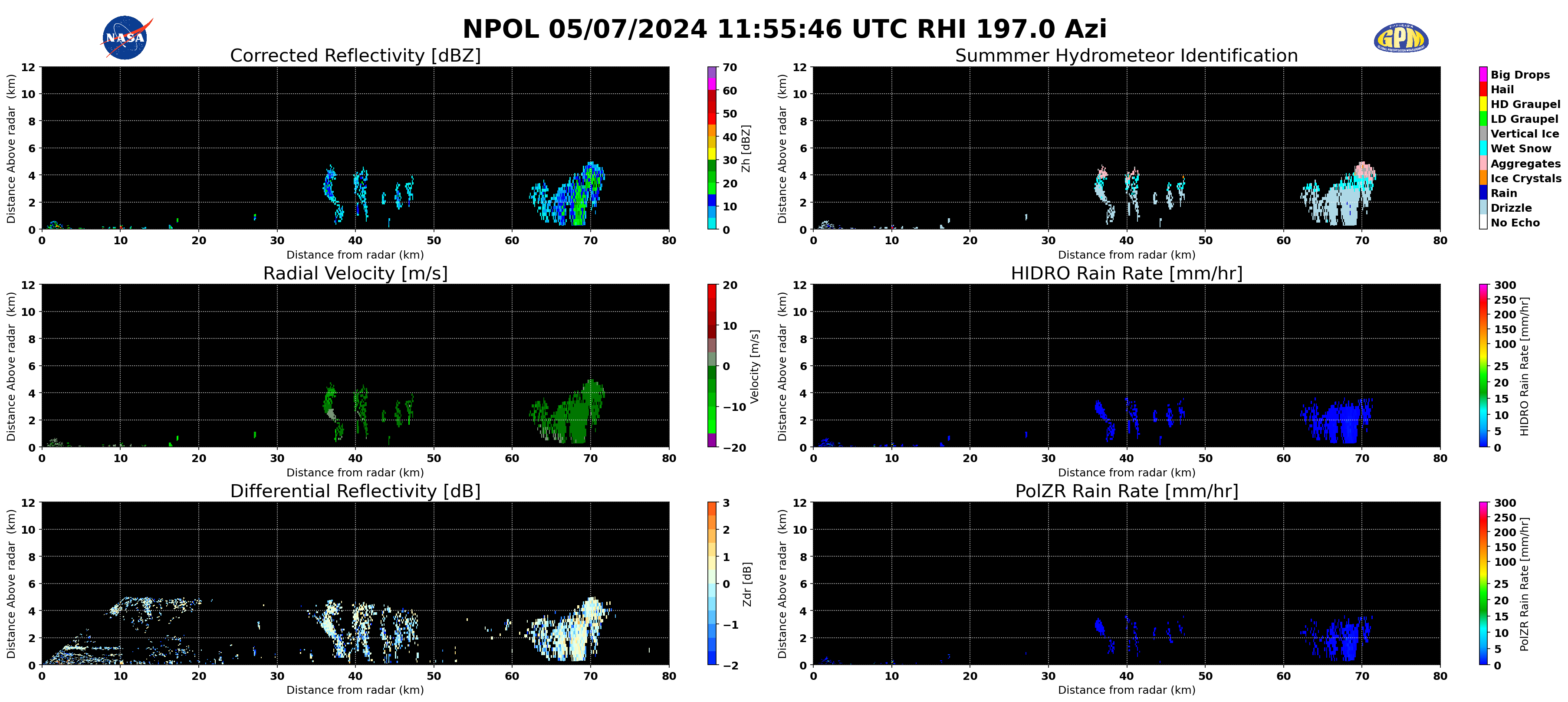
Notes on the Hydrometeor Identfication Images
The HID product is generated using software provided by Colorado State University
and is based on the continued work of
Dolan et al. (2013).
|